NewTopo (NZ) Ltd
  • Home
  • Maps
    • North Island Maps
      • Cape Reinga map
      • Bay of Islands map
      • Aotea Great Barrier Island map
      • Auckland wall map
      • Coromandel Peninsula map
      • Waitākere Ranges map
      • Waikaremoana map
      • Rotorua Taupō map
      • Tongariro Alpine Crossing map
      • Tongariro Northern Circuit map
      • Ruapehu Round the Mountain Track map
      • Mount Ruapehu map
      • Taranaki Maunga map
      • Tararua Tramps map
      • Wellington map
      • Wellington wall map
    • South Island Maps
      • Marlborough Sounds Map
      • Queen Charlotte Track map
      • Kahurangi map
      • Abel Tasman map
      • Golden Bay map
      • Mt Arthur, Cobb Valley map
      • Heaphy Track map
      • Wangapeka Track map
      • Old Ghost Road map
      • Paparoa Track map
      • Travers-Sabine Circuit map
      • St James Walkway map
      • Lake Sumner Tramps map
      • Arthur's Pass map
      • Banks Peninsula map
      • Aoraki Mt Cook map
      • Wilkin Valley map
      • Central Otago map
      • Rees-Dart Track map
      • Hollyford map
      • Five Passes Wilderness map
      • Routeburn, Greenstone map
        • Te Anau map
      • Milford Track map
      • Kepler Track map
      • Hump Ridge Track map
      • Rakiura Track map
      • Rakiura Circuits map
      • Rakiura Stewart Island
  • Where To Buy
    • Europe / Rest of World
  • Free Downloads
  • Links
  • NZTM Grid
  • About NewTopo
    • Contact NewTopo
    • Terms and Conditions
  • Mount Somers map
Maps  >  North Island Maps  >  Bay of Islands map

Bay of Islands   

Picture
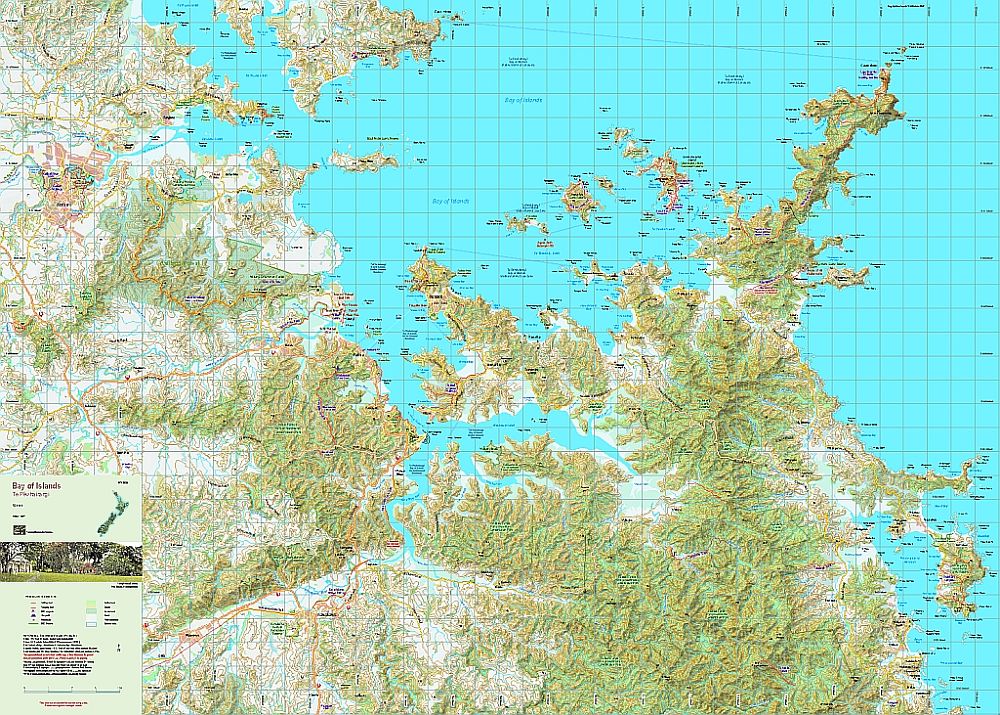
Edition 1  2022.  Scale 1:50 000
A1 format. Printed on high-wet-strength paper.
Delivery Destination

Overseas?
Stanfords in the UK also sell a selection of NewTopo Maps online.
​In Australia try the Chart and Map Shop in Fremantle, WA, or the Geographica map centre in Hobart, Tasmania.
 This  beautiful part of New Zealand provided the setting for our historic Treaty of Waitangi and is a much valued recreational and holiday centre.  Although many of the longer tracks have bee closed to protect the kauri from die-back, there are many very pleasant short walks as well as the more challenging track to Cape Brett.  Roading and settlements are shown on a topographic background. The combination of contours and relief shading, gives a realistic landform.

The area is very popular with both overseas and domestic tourists for its cultural and recreational opportunities.
Picture
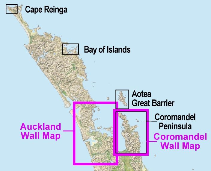
Please read our terms & conditions, including delivery and return information.
​Orders are normally despatched within 24 hours.  NZPost delivery can take 7-10 days.
Powered by Create your own unique website with customizable templates.
  • Home
  • Maps
    • North Island Maps
      • Cape Reinga map
      • Bay of Islands map
      • Aotea Great Barrier Island map
      • Auckland wall map
      • Coromandel Peninsula map
      • Waitākere Ranges map
      • Waikaremoana map
      • Rotorua Taupō map
      • Tongariro Alpine Crossing map
      • Tongariro Northern Circuit map
      • Ruapehu Round the Mountain Track map
      • Mount Ruapehu map
      • Taranaki Maunga map
      • Tararua Tramps map
      • Wellington map
      • Wellington wall map
    • South Island Maps
      • Marlborough Sounds Map
      • Queen Charlotte Track map
      • Kahurangi map
      • Abel Tasman map
      • Golden Bay map
      • Mt Arthur, Cobb Valley map
      • Heaphy Track map
      • Wangapeka Track map
      • Old Ghost Road map
      • Paparoa Track map
      • Travers-Sabine Circuit map
      • St James Walkway map
      • Lake Sumner Tramps map
      • Arthur's Pass map
      • Banks Peninsula map
      • Aoraki Mt Cook map
      • Wilkin Valley map
      • Central Otago map
      • Rees-Dart Track map
      • Hollyford map
      • Five Passes Wilderness map
      • Routeburn, Greenstone map
        • Te Anau map
      • Milford Track map
      • Kepler Track map
      • Hump Ridge Track map
      • Rakiura Track map
      • Rakiura Circuits map
      • Rakiura Stewart Island
  • Where To Buy
    • Europe / Rest of World
  • Free Downloads
  • Links
  • NZTM Grid
  • About NewTopo
    • Contact NewTopo
    • Terms and Conditions
  • Mount Somers map