NW Maps > South Island Maps > Central Otago map
Central Otago
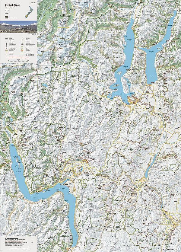
Edition 1 2022. Scale 1:150 000
A1 format. Printed on Polyart waterproof synthetic paper. 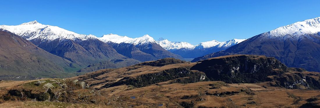
|
Central Otago provides many opportunities for a wide variety of outdoor activities, especially tramping and cycle touring. This small scale map shows the heart of Central Otago and provides a useful over-view for planning. The public huts and tracks are complemented by the locations of historic places in the early settlement and development of the area. The boundaries of Aspiring National Park and other reserves are also shown. The map overlaps larger scale NewTopo maps in the north and west: The Wilkin Valley, Rees-Dart Track, Five Passes Wilderness, and Routeburn Greenstone, and Caples Tracks maps.
Wall map: A limited number of copies are available flat, printed on 170gsm matt art paper. Price $60 includes courier delivery within New Zealand. Contact NewTopo (NZ) Ltd 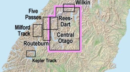
Overseas? Stanfords in the UK also sell a selection of NewTopo Maps online. In Australia try the Chart and Map Shop in Fremantle, WA, or the Geographica map centre in Hobart, Tasmania. |
Please read our terms & conditions, including delivery and return information.
Orders are normally despatched within 24 hours. NZPost delivery can take 7-10 days.
Orders are normally despatched within 24 hours. NZPost delivery can take 7-10 days.
